Satellite Process
What if you were able to avoid all "dry holes", or in other words, what if all the wells or holes you choose to explore, and test was commercially valuable?
You would save 10s of thousands and save months of time and planning!
We are going to show you the process of how we can provide this invaluable service.
Basic idea
Our technique detects specifically modulated atomic frequencies in the THz range (1THz = 1012 Hz) to detect the resonance effect of substances we search for. Underlying physical effects for which we search
- magnetic resonance frequencies
- electronic paramagnetic resonance
- Spectral ir
- registration of the searched substance by detecting the energy radiation from the substance being disturbed by the magnetic field. from a searching generator
- 1st stage – Prospecting
- 2nd stage – Exploration
1st Stage – Prospecting
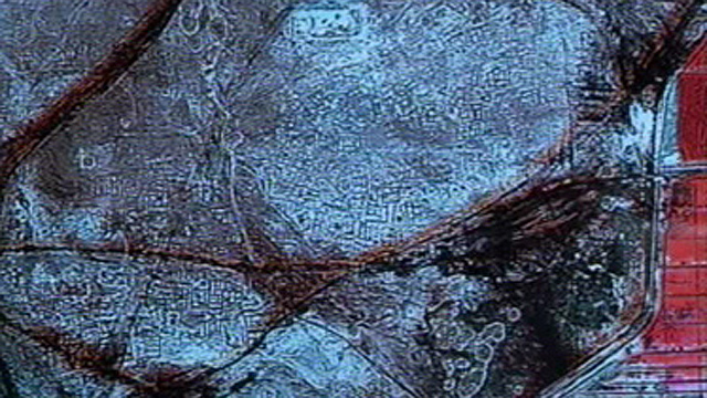
- Aerospace scanning and spectrometry followed by digital image processing using unique algorithms
- order satellite scan
- Individual elements frequencies are detected in the area pre plotted
- visualization of the deposits contour on the digital topography are ascertained
- transfer of the deposit contour from the topo plot in utm transformed to gps onto the kmz/kml map map
- 1st stage summary report and google map preparation
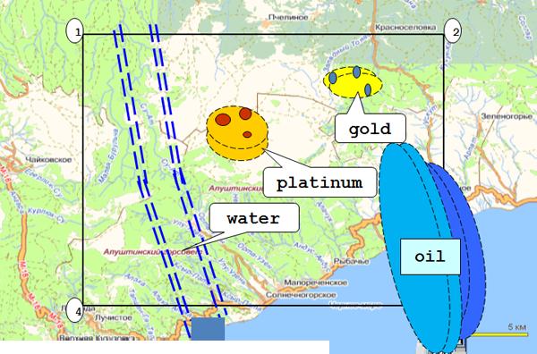
- Outcome - delineation of mineral deposits, estimation of depths of bedding
- Time: 1 - 2 months from start to finish
- Result: delineation of mineral deposits or location of sought
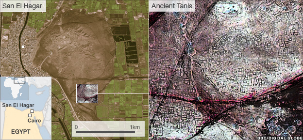
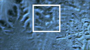
But Dr Parcak said the most exciting moment was visiting the excavations at Tanis.
"They'd excavated a 3,000-year-old house that the satellite imagery had shown and the outline of the structure matched the satellite imagery almost perfectly. That was real validation of the technology."
2nd Stage - Exploration
- Work on site by using conventional testing devices
- more precise delineation of deposits obtained from the 1st stage
- Ground truthing by GPR, EM, ERT, XRF, Seismic and other depending on site
- Core drilling and or trench testing, grab sampling
- determination of deposit depth, quantity, and thickness of the beds
- assessment of certain physical parameters of the substances (temperature, pressure, salinity, condition of substance - gas, liquid, steam, solid body, etc.)
- location of oil and gas domes
- Outcome - evaluation of mineral reserves in deposits, selection of optimal points for exploratory mining and/ or in ground reserve probabilities
- Time frame: 1.5 - 2 months from start to finish
- Result: confirmation of mineral reserves, their evaluation, and location of optimal boring points
Request a Quote
We understand every project is different, and we are able to negotiate fair, honest pricing contact us and we will apply our expertise to your next project.
- Well Confirmation
- Discovering Fields
- Evaluation of Existing Fields or Wells
- Discovering Treasures